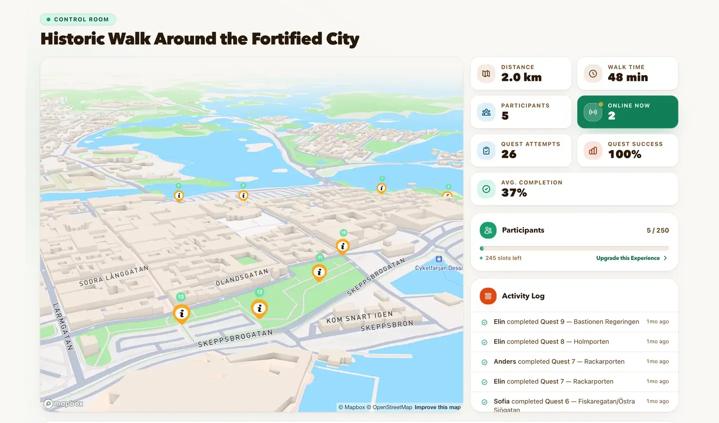
Historisk vandring runt Befästningsstaden was built and published by Destination Kalmar, and it is playable in Kalmar today: 14 information stops over about 2 km, following the ramparts that were thrown around Kvarnholmen after Queen Christina moved the town there in 1647.

The screenshots below are that activity, played from the participant's side — their stops, their text, their images, their narration and their branding. Nothing on this page is a mock-up.

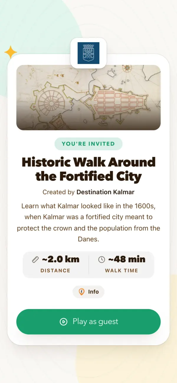
A participant meets the activity before they meet the map. The welcome screen belongs to the creator: Destination Kalmar's mark at the top, their cover image, their words, and the route's length and walking time read straight off the published activity.

The welcome screen, as a participant opens the link. The welcome screen, as a participant opens the link.

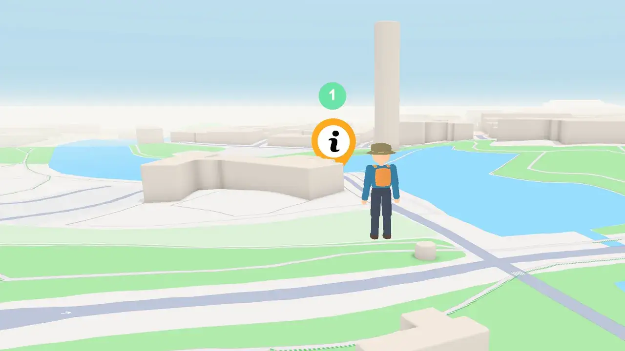
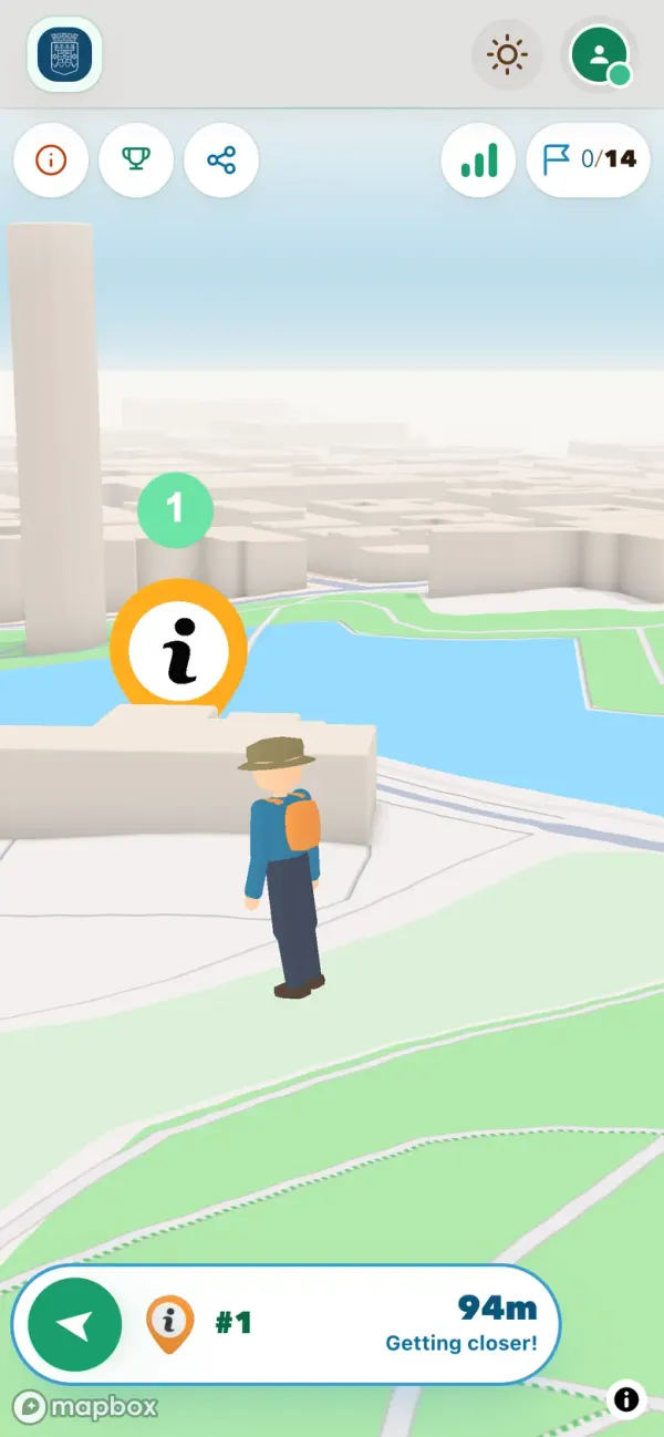
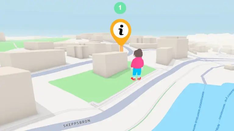
Past that screen the map is the game. Every stop sits at real coordinates on Kvarnholmen, and the avatar only moves when the participant does.

Walking in on the first stop, 42 metres out, with Kvarnholmen ahead. Walking in on the first stop, 42 metres out, with Kvarnholmen ahead.

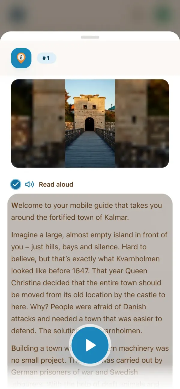
A quest only opens once the participant is physically within about 30 metres of it, so each piece of the story lands while they are standing in front of the thing it is about. This activity ships with narration, so the Read aloud toggle at the top of the card plays the text in the participant's own language.

Stop 1 as the participant sees it, opened on arrival. Stop 1 as the participant sees it, opened on arrival.

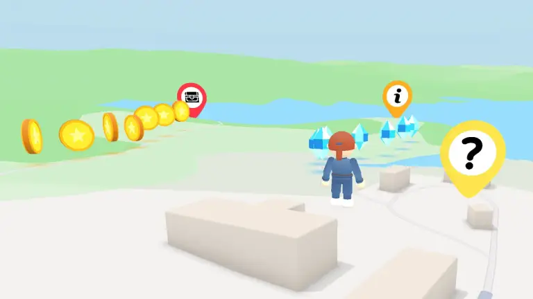
A completed stop pays the 300-point base plus whatever is left of the speed bonus. A completed stop pays the 300-point base plus whatever is left of the speed bonus.

Everyone's results land on the same scoreboard as they go, so a group spread out across Kvarnholmen can still see who is ahead.

The live scoreboard part-way through. The live scoreboard part-way through.


The route — 14 stops

The walk is a loop around the old fortifications. It starts just west of Västerport, follows the northern rampart out to Rackarporten and Holmporten, comes back down through Lilla Torget, and closes on the ramparts themselves.

The stop names below are the creator's own. So is the text at each one, which is why it appears in the screenshots rather than reprinted here.

  1. Promenad i befästningsstaden
  2. Västerportsbron
  3. Västerport mot Västra Vallgatan
  4. Gustavus Primus
  5. Bastionsplatsen
  6. Fiskaregatan / Östra Sjögatan
  7. Rackarporten
  8. Holmporten
  9. Bastionen Regeringen
  10. Kavaljeren och Lilla Torget
  11. Kavaljersparken
  12. Bastionen Johannes Rex
  13. Jordbroporten
  14. Vallarna

Stop 5 — Bastionsplatsen, on the northern rampart. Stop 5 — Bastionsplatsen, on the northern rampart.

Stop 7 — Rackarporten, at the north-eastern corner of the walls. Stop 7 — Rackarporten, at the north-eastern corner of the walls.

Stop 10 — Kavaljeren and Lilla Torget. Stop 10 — Kavaljeren and Lilla Torget.

Stop 14 — Vallarna, where the loop closes. Stop 14 — Vallarna, where the loop closes.


What this example shows

  • Information quests can carry a whole guided tour. No questions, no codes — the reward is the story, and the 30-metre radius is what makes it land in the right place.
  • A fixed order keeps a long route readable. Fourteen stops unlocked one after another read as a walk rather than as a pile of markers on a map.
  • The activity can be entirely the creator's. Logo, creator name and cover image are set per activity, so a participant sees Destination Kalmar rather than us.
  • Narration and translation come from the activity itself. The Swedish original is translated into English and read aloud, so a visitor plays in their own language without a second activity being built.